Below I (Zoe Pilgrim) have sketched maps based on the concept art and group discussions, and our original playtesting map.
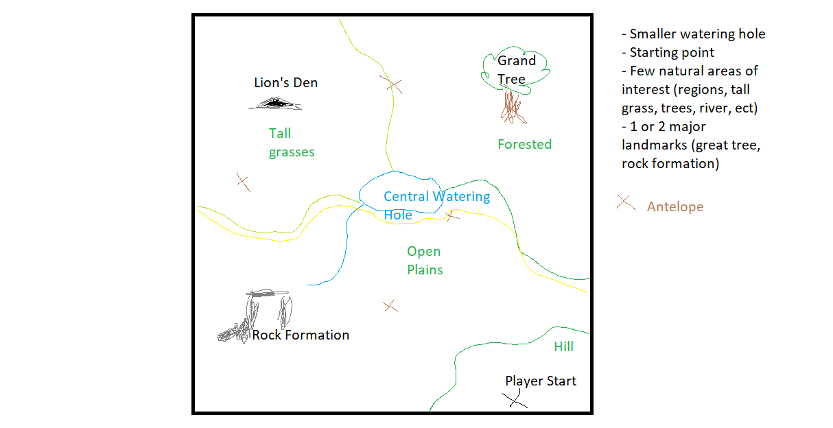
Figure 1: This was our original playtest map idea. It was intended to be a smaller version of the full map.
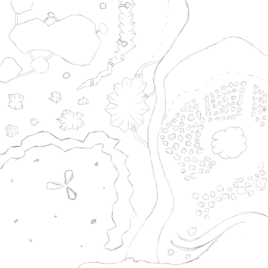
Figure 2: This initial sketch defines the major physical features of the world. There are four different regions: jungle, beach, mountains, and desert.
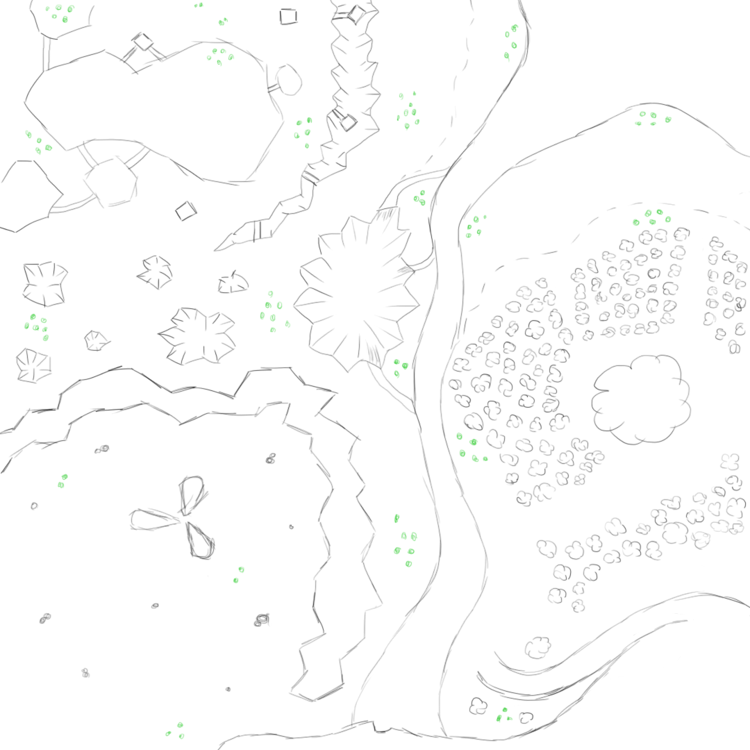
Figure 3: This map includes where herds of prey are located. Distance between food sources were kept in mind. The player needs to be able to find some within a reasonable amount of time but it needs to be scarce enough that hunger can be an issue.
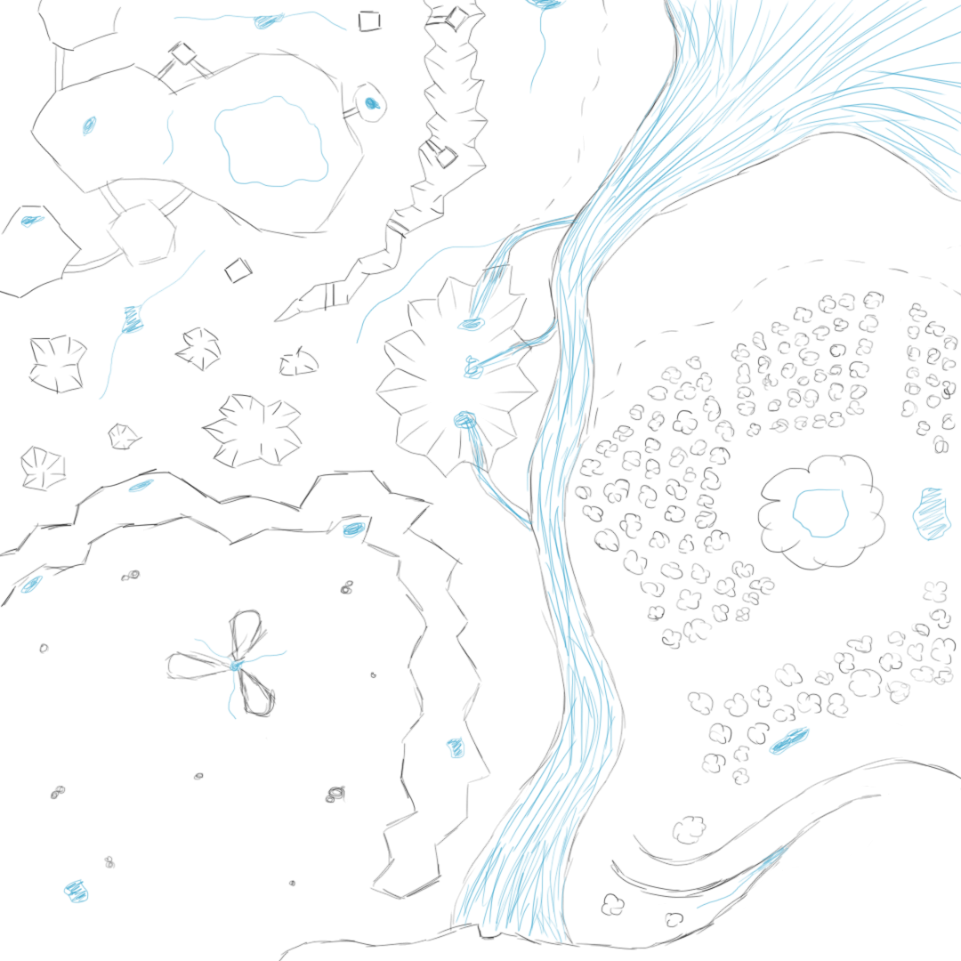
Figure 4: This map shows where there are water sources. The same principals that were applied to the food sources were applied here.
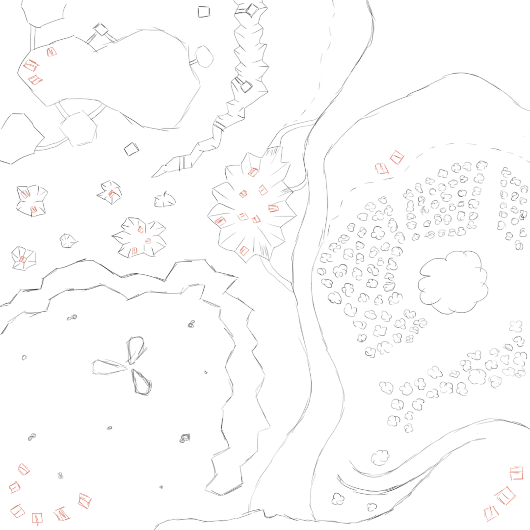
Figure 5: The poacher camps have been added to this map. They dwell mostly in craters, however each region has an area where they can be encountered. There is an intentional poacher camp near the player start (the cliff at the bottom of the map). This is indented to introduce the poachers as the player has to pass by them. They will be unable to fight them at this time and will have to make a run for it.
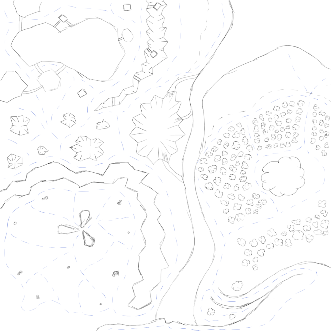
Figure 6: This map includes all the different main paths the player could walk down. It outlines the flow of the map or where the player will most likely be guided.
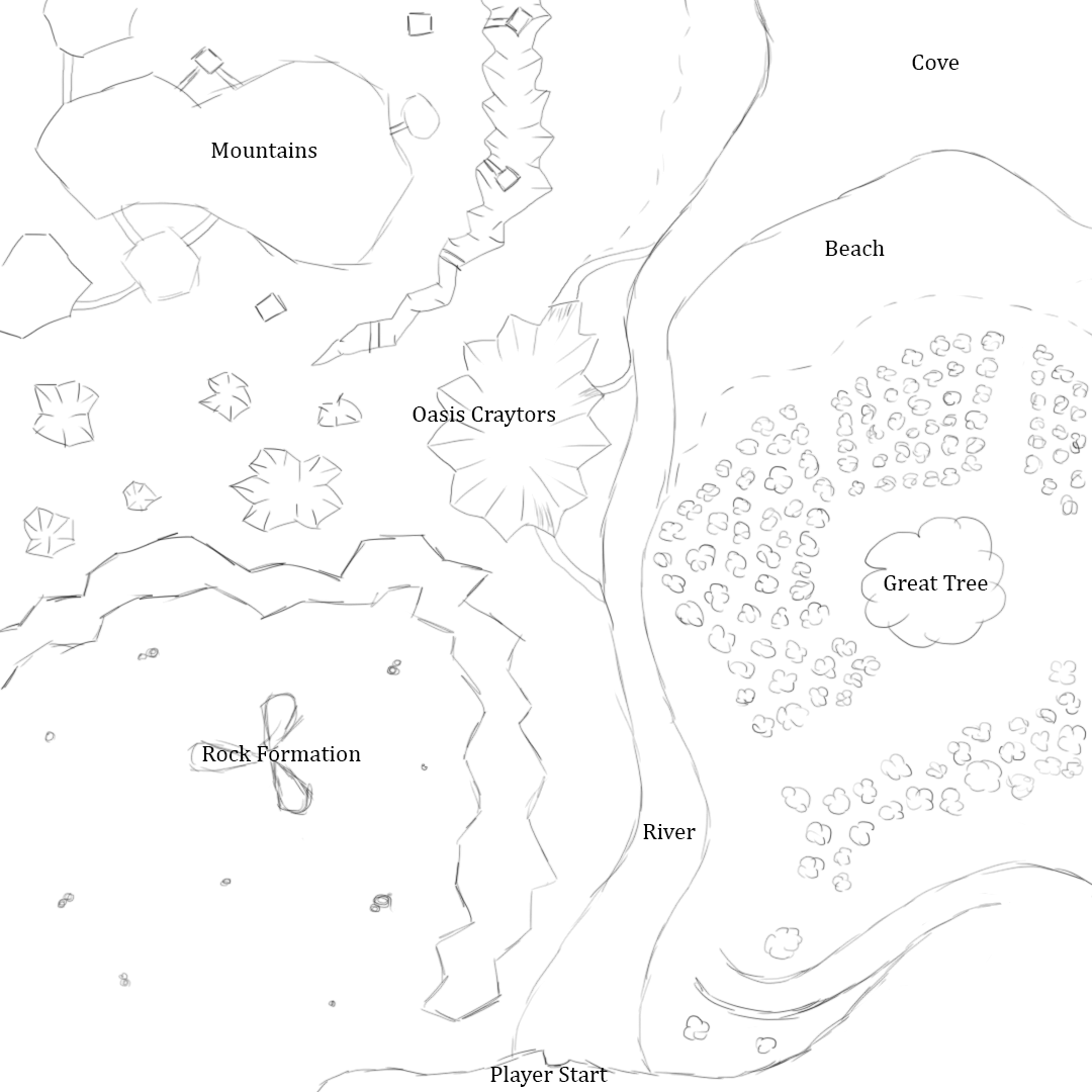
Figure 7: The map with regions and landmarks labeled.
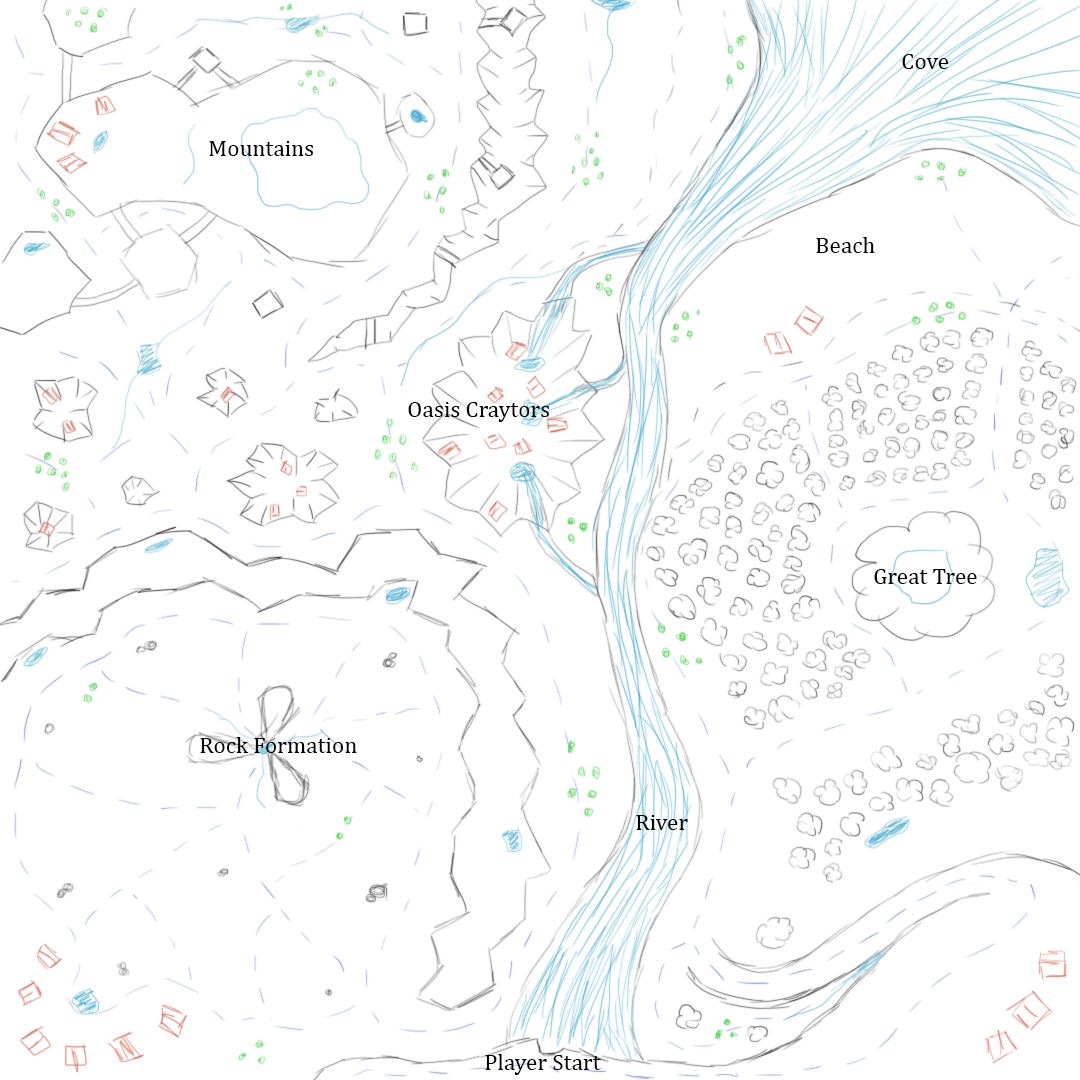
Figure 8: The map with all details listed above.
 Figure 9: A map of the Oasis (floating islands). They reflect the craters in the ground on the main map.
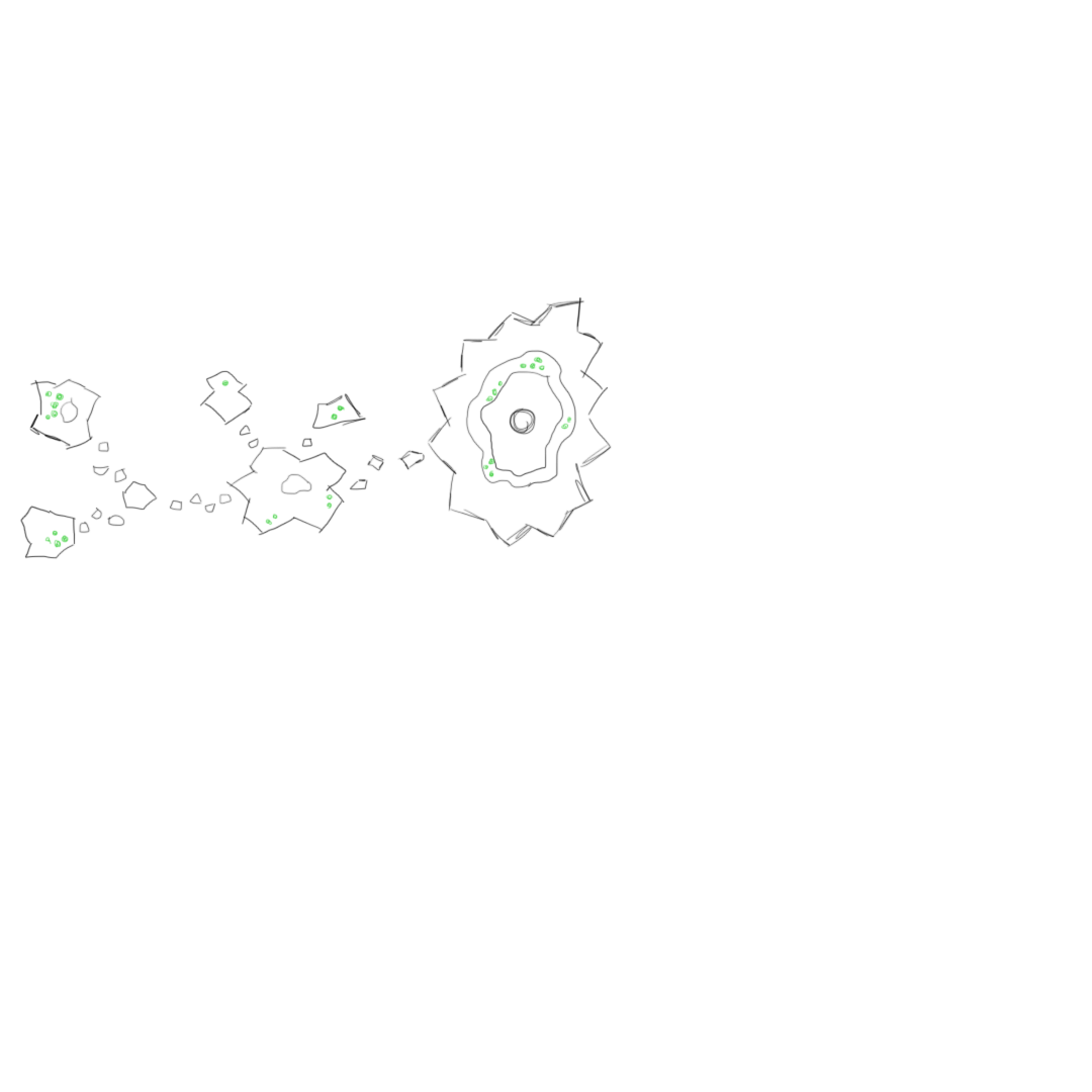 Figure 10: The Oasis map with food sources labeled.
 Figure 11: The Oasis map with water sources labeled.
 Figure 12: The Oasis map with region labels.
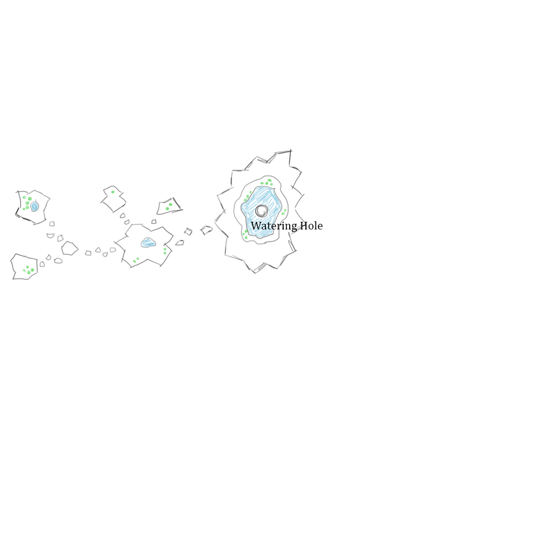 Figure 13: The Oasis map with all above information.


Leave a comment
Log in with itch.io to leave a comment.